From Leybourn's The Compleat Surveyor in 1722
Rare Books for Sale
My dad complied a list of every surveying book published in the English language from 1500 to 1940. This list is about 98% complete. And at one time or another, he owned just about every book on the list. Including all of my dad's books, I've probably sold 2000 plus old books relating to surveying. Going forward, I'm going to focus on rare and unusual books only, like those offered for sale below. Please let me know if you are looking for anything in particular.
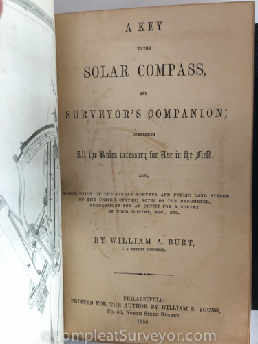
1855 Burt's Solar Compass Key - INCREDIBLE Provenance
This Rare Book Witnessed the End of the Civil War - SOLD
Email Russ
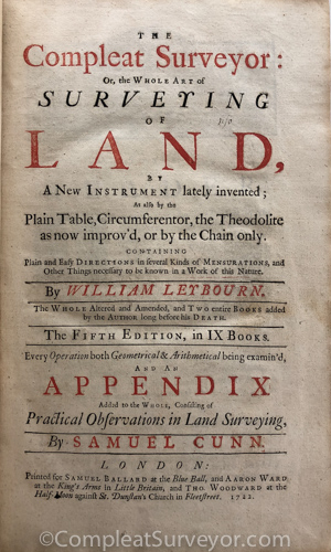
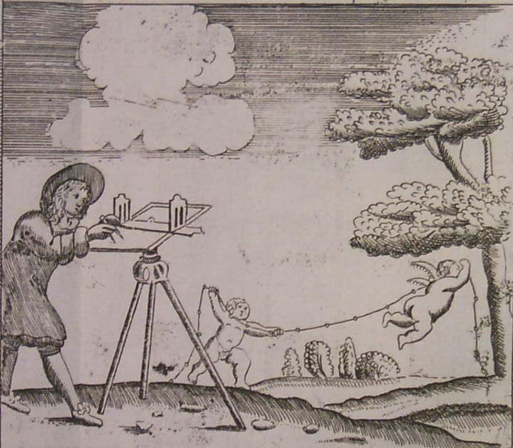
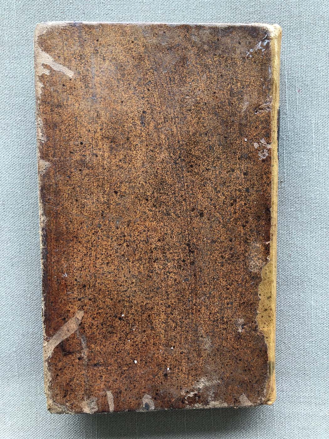
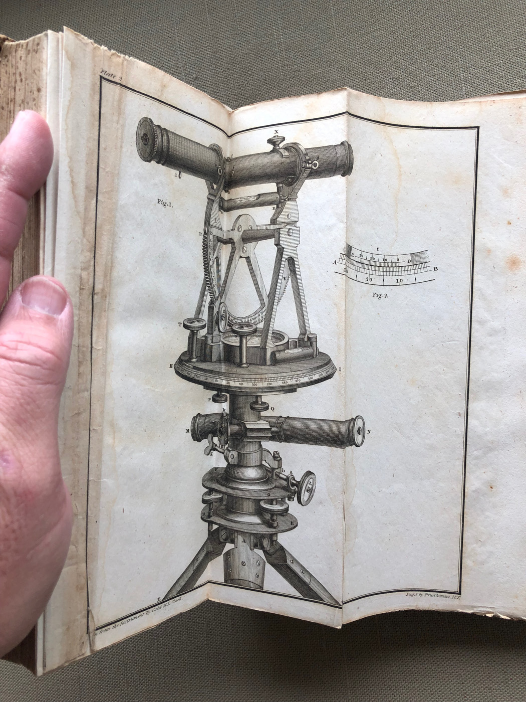
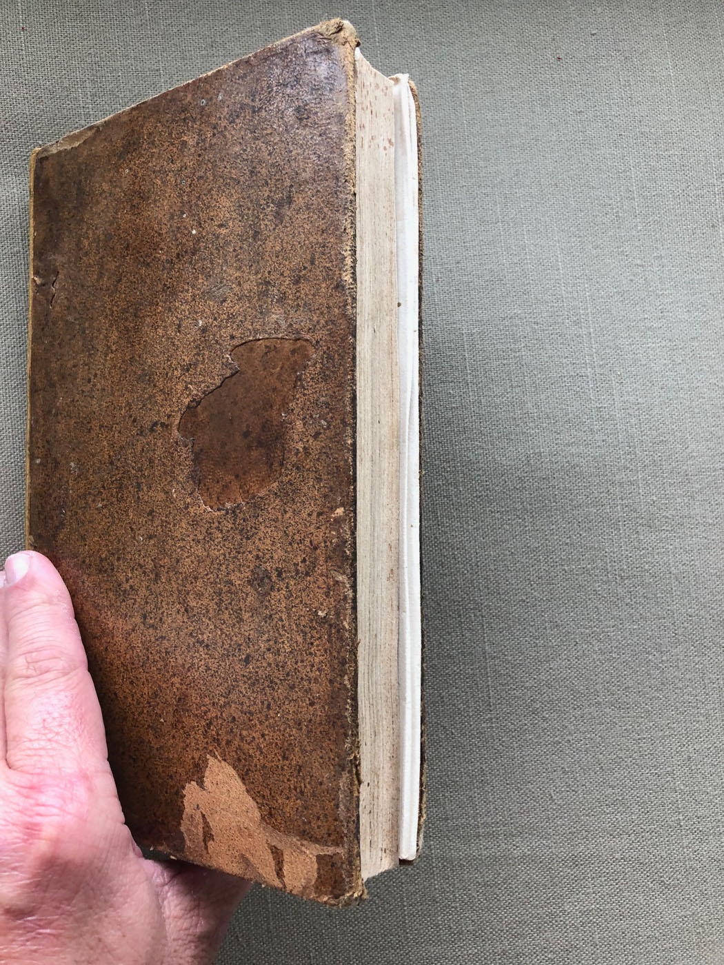
1722 Leybourn's The Compleat Surveyor
Huge Magnificent Book - Display Worthy - SOLD
Email Russ
Books Sold
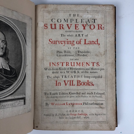
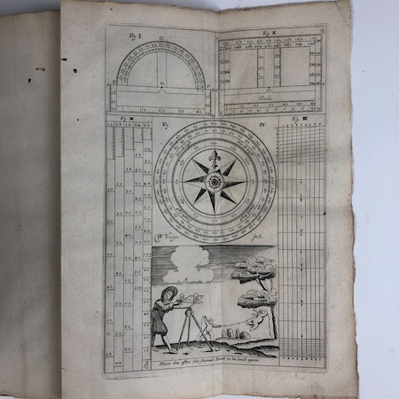
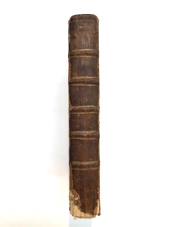
1679 Leybourn's The Compleat Surveyor
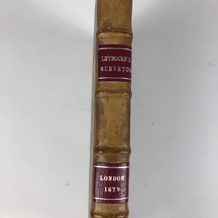
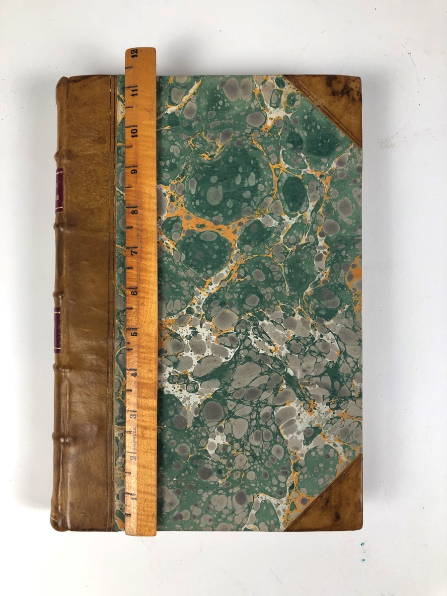
1679 Leybourn's The Compleat Surveyor
Fourth Edition - Nice Condition - 438 pages
Modern Marble Board Cover
Author Portrait Laid-In on Facing Page to Title Page
Great Internal Pages and Foldouts Very Readable
SOLD
Email Russ
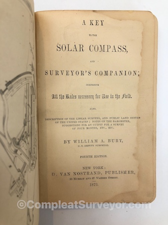
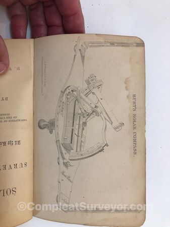
1879 Burt's Key To The Solar Compass
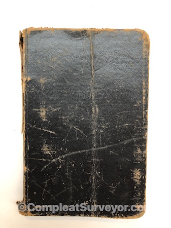
1879 Burt's Key To The Solar Compass SOLD
Fragile Joints held by threads
Water staining first pages
118 pages
Joints tender
Email Russ
1796 Moore's An Accurate System of Surveying
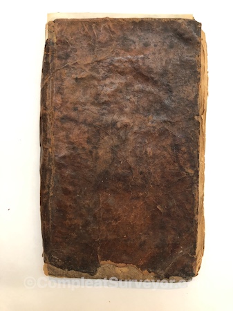
1796 Moore's An Accurate System of Surveying
Missing Title Page and Various Other Pages
The Remnants of a Very Well Used Book
$50
Email Russ
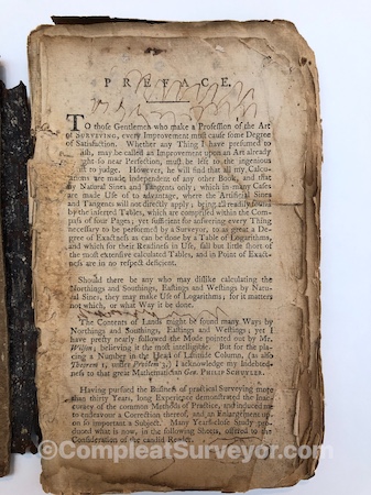
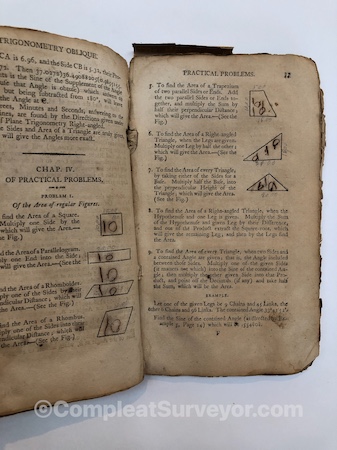
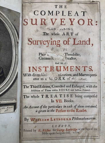
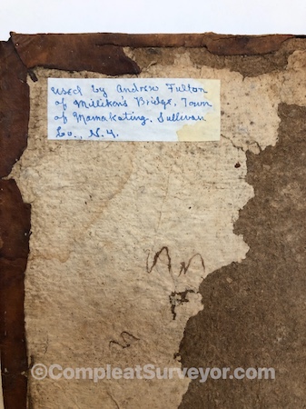
1674 Leybourn's The Compleat Surveyor
Third Edition of a Classic Work on Surveying - SOLD
Email Russ
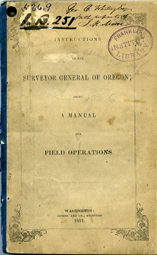
1851 Oregon Survey Instructions
The Starting Point for All Future Instructions - SOLD
Email Russ
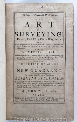
1700 Wing's Art of Surveying
Huge Magnificent Book - Display Worthy - SOLD
Email Russ
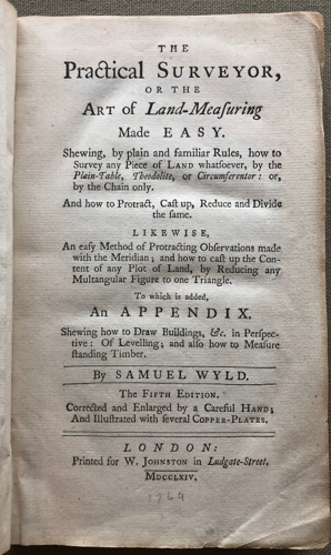
1764 Wyld's The Practical Surveyor
Classic Work with a Fantastic Frontispiece- SOLD
Email Russ
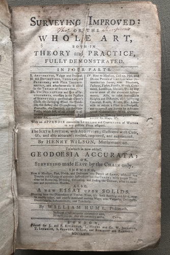
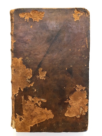
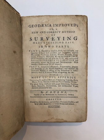
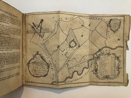
1769 Wilson's Surveying Improved
Nice Work on Surveying - SOLD
Email Russ
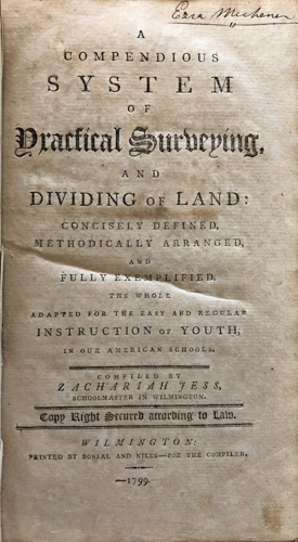
1799 Jess' System of Practical Surveying
One of the First American Books on Surveying - SOLD
Email Russ
1855 USGLO Survey Instructions
The First Nationwide Survey Instructions - SOLD
Email Russ
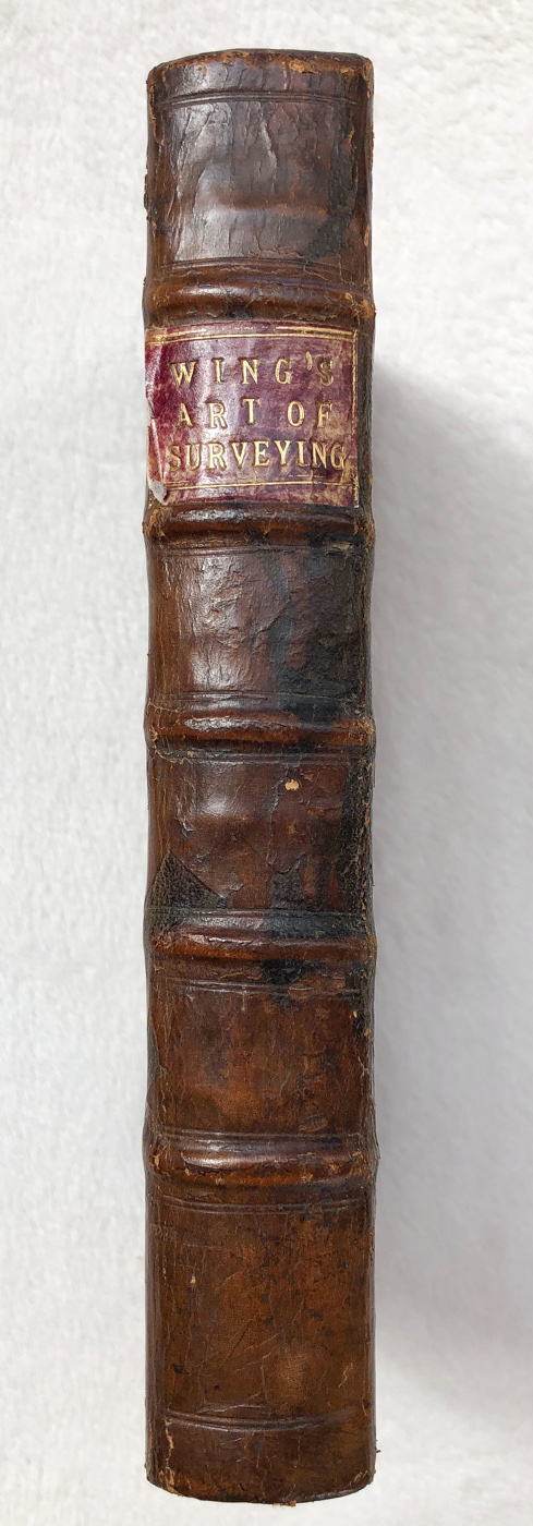
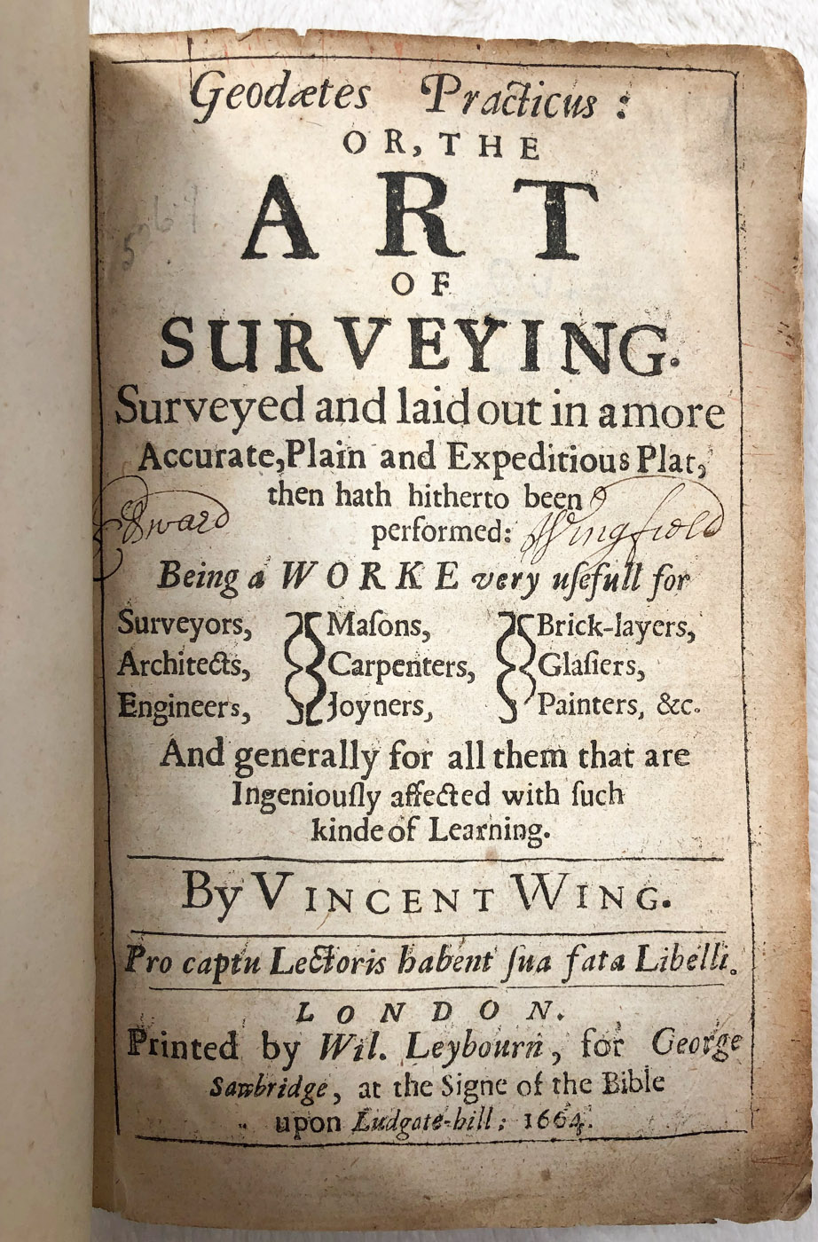
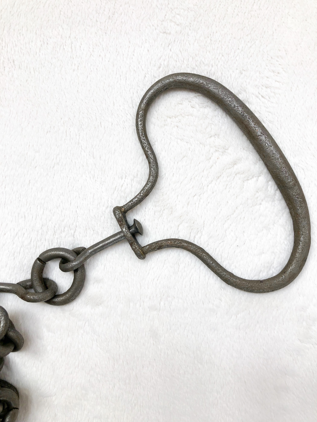
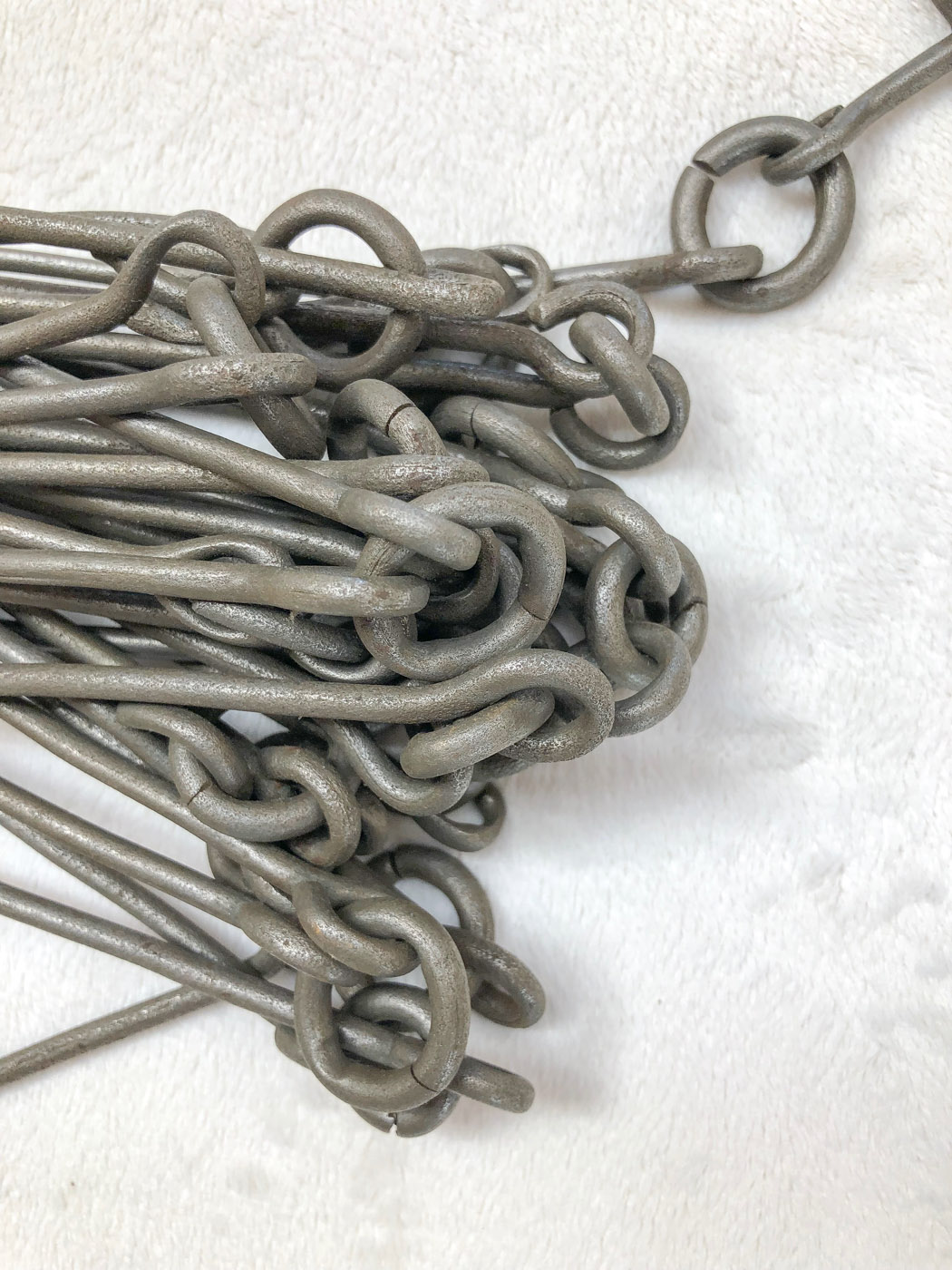
1664 Wing's Geodates Practicus - The Art of Surveying PLUS a Circa 1760 Wing Chain
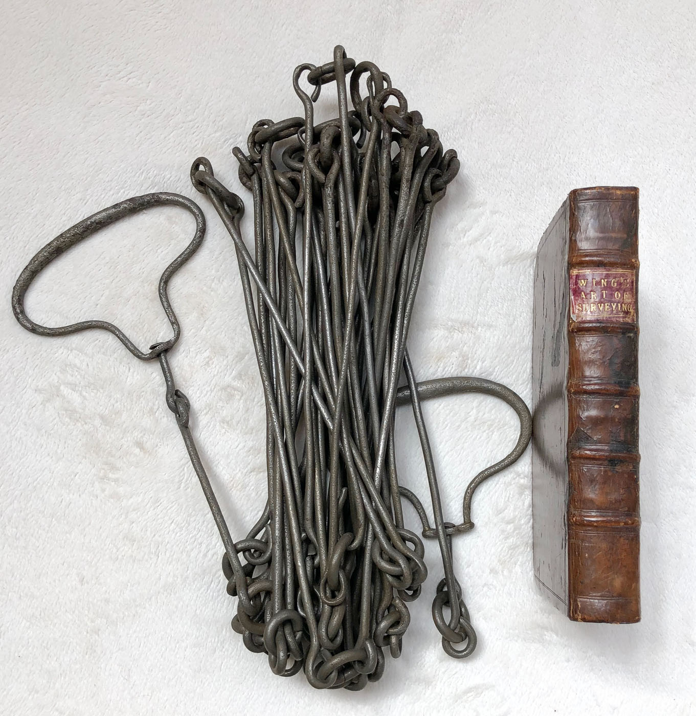
Offered here is a very rare grouping – a first edition 1664 surveying book by Vincent Wing and a circa 1760 Wing chain (which was first described in the 1664 book). Importantly, the book and chain are in exceptional condition, which likely makes this grouping impossible to duplicate.
The Wing Book:
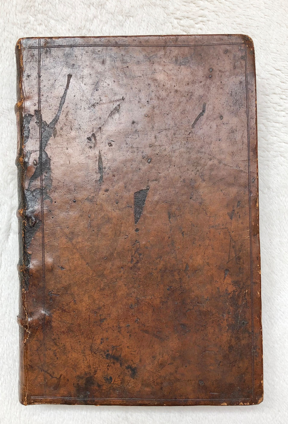
Wing, Vincent, Geodaetes Practicus: or, The Art of Surveying, Surveyed and laid out in a more Accurate, Plain and Expeditious Plat, then hath hitherto been performed.(London, 1664), 325 pages. The book is VERY nice – with its likely original binding, which is still very tight. Please look at the pics closely and ask questions. I can provide more pics if necessary.
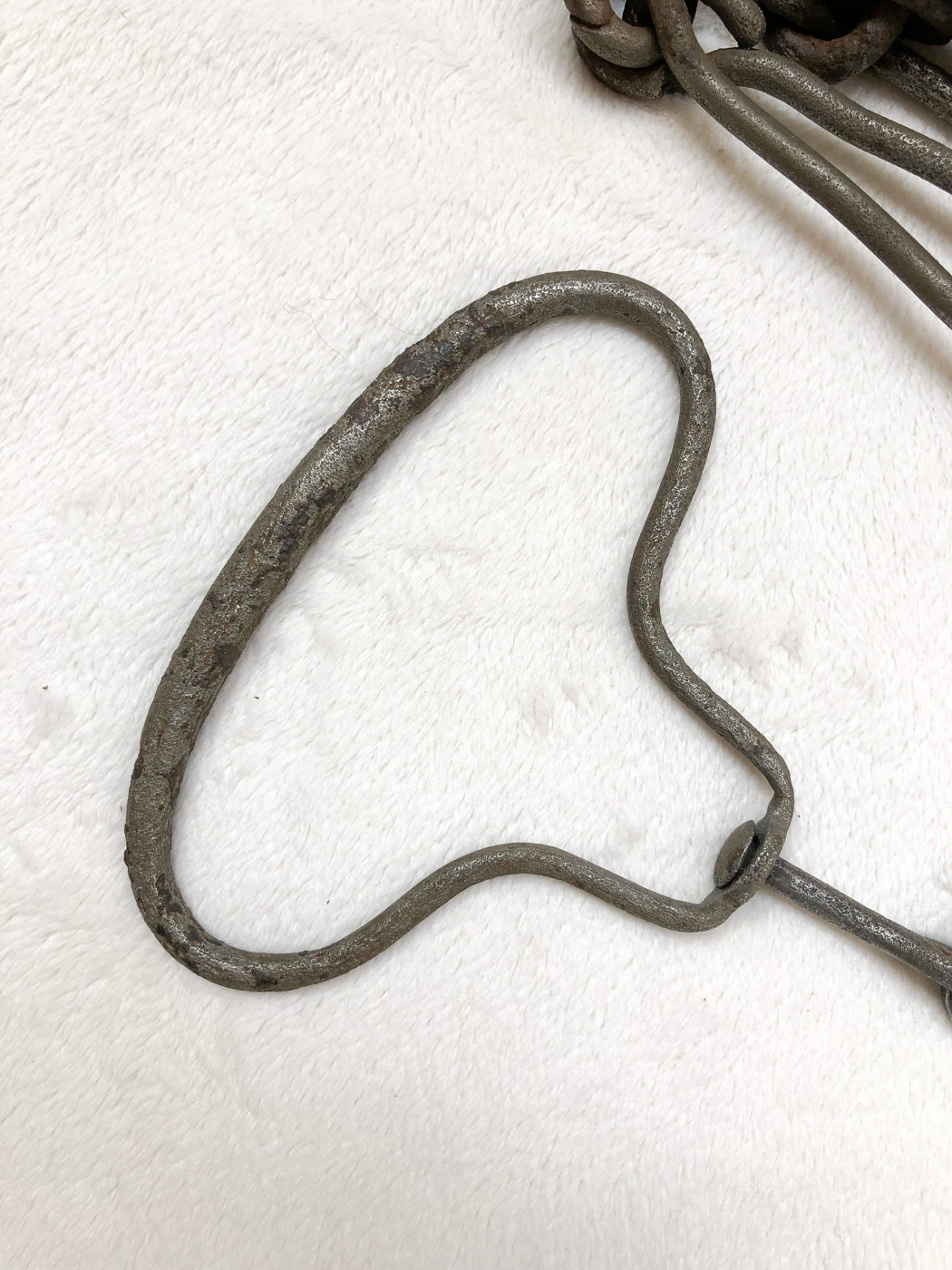
Wing designed the 40-link two-pole chain that he stresses the value of when surveying tracts in rods or poles. The work is small in size (6.75 inches x 4.5 inches) and intended for use as a pocket book in the field. Wing’s book was reprinted in 1666, but almost all of the 1666 prints were lost in the London Great Fire of 1666 (I owned one of the surviving copies 20 years ago). Wing’s nephew republished the book again in 1700 in a much larger format, so the 1700 version is highly collectible as well.
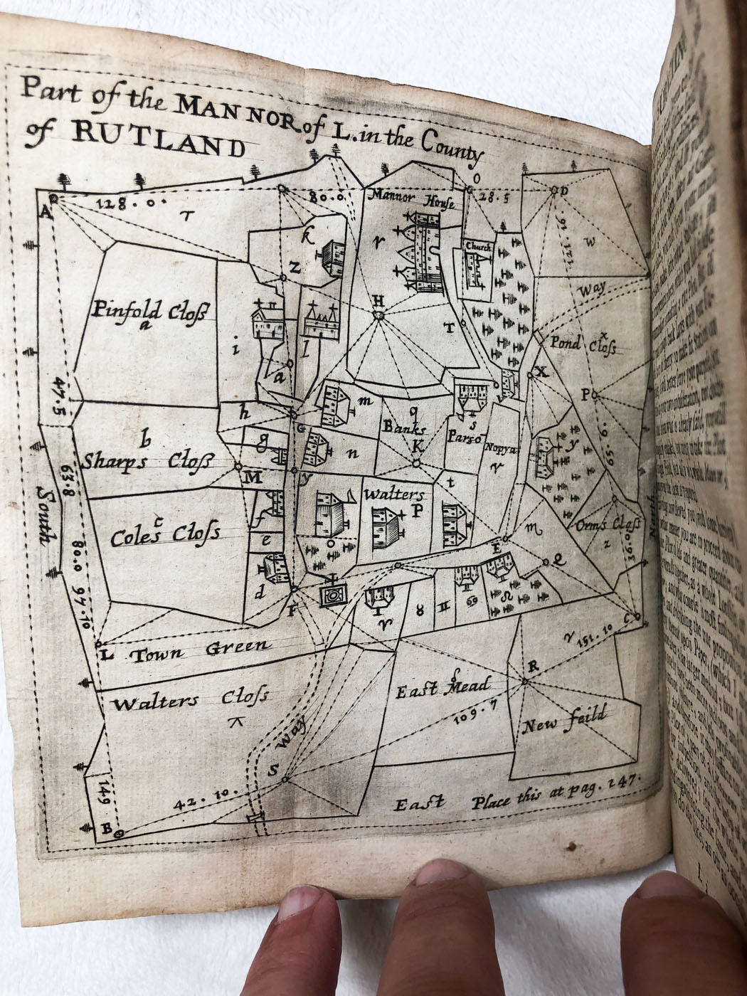
A contemporary commentator called Vincent Wing "the learned and ever to be renouned mathematician of our nation (Taylor, The Mathematical Practitioners of Tudor and Stuart England" p.222). He was at once mathematician, land-surveyor, almanack-maker and astrologer. The folding plate in the present work depicts a detailed survey of the lands of Luffenham, Co. Rutland, Nicholas' home parish, from where he made his celebrated astronomical observations published in his Urania Practica (1649).
Wing described his chain starting at page 111 of his 1664 book:
Some Surveyors still work by a Chain of 16 parts in a Perch, others (as Mr. Gunter in his Description and use of the Sector, Cross-Staffe, & c.) divide the whole Chain of 4 perches into 100 Links, but Mr. Aaron Rathborne in his Surveyor printed Anno 1616. makes division of every perch into 100 parts, that is to say, first he divides each perch into 10 parts, called Primes, each Prime whereof is again sub‑divided into 10 parts more, which he calls Seconds; and this is commonly called the Decimal‑Chain. But the Chains that I have usually made for my self, contains in each Pole 20 links, so that in the use thereof I apply it to Decimal operations, wherein to avoid prolixity, I account two links to be one Prime, and one link to be five Seconds, and yet notwithstanding in Geodasie, or Land‑measure (unless it be out of curiosity) it is needless to go neerer then a Link of your Chain. But seeing my intent in this Chapter is only to shew you how you may speedily multiply the several fractions of your Chain together, as if they were whole numbers, I will first show how to effect it by the Decimal‑Chain invented by Mr. Rathborne, and then afterwards by my own 20 Links in a Perch.
The Gunter chain of course won out over the Wing chain in America. But the Wing chain was still used, and was even listed in the Gurley catalogue for years. My dad’s notes indicate that the Wing chain had some usage in mine surveying. The Wing chain was also sometimes referred to as the Rittenhouse or Philadelphia chain
The Wing Chain:
This circa 1760 iron chain has 40 links in two poles and is the pattern invented by Vincent Wing during the 1660's, and which he described in his 1664 book Geodaetes Practicus - Art of Surveying. The metal contains many carbon impurities suggesting a very old date. One of the handles shows a brazed repair. There are three copper tally tags, one being smaller than the others. This is a VERY nice roughly 350 year old chain.
Price: SOLD
Email Russ

1856 Gurley Manual
.jpg)
It contains a descriptive catalog of surveying instruments and offers helpful instructions in their use and adjustment. This is the only pre-1860 Gurley manual that my dad and I ever came across.
Contains 79 pages of text and diagrams covering - compasses, transits, levels, etc. There is also 13 pages at the end featuring German and Swiss drafting supplies and tools.
The surveying instruments shown are early design models, such as transits with the straight A-shape standards before the bend was added to the legs. The tangent screws have only straight threads with no spring-opposed backstop.
Size is 4.5 inches by 6.75 inches with paper covers which are barely attached by 4 strings. The top 2 strings no longer secure the first 10 pages or so. The covers won't take much more use. Very nice otherwise.
Price: SOLD
.jpg)
.jpg)
.jpg)
.jpg)
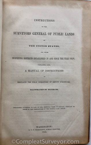
1855 USGLO Survey Instructions - Henry Hancock Copy
.jpg)
Instructions to the Surveyors General of Public Lands of the United States Prescribed According to Law by the Principal Clerk of Surveys, Pursuant to Order of the Commissioner of the General Land Office M. Moore, Washington, 1855
This is an original copy of the first set of general surveying instructions for the government public lands. Prior to this issue the public lands were surveyed according to individual directions prepared by the various Surveyors General in the separate surveying districts. This treatise provides direction to all surveyors regarding the instruments, tools, and methods of survey for government work. It is one of the most important resource tools for present-day surveyors working in public land states.
The book is complete as to text and all plates. The binding is original and tight with some minor blemishes to the leather surface. This is one of the better remaining copies of this rarely encountered treatise. The folded plates have good edges with none of the customary raggedness. Size is 5.7" x 8.9" with about 91 pages and 3 folding plates.
This book was owned by important Los Angeles Surveyor, Henry Hancock, and bears the seal (featuring a Solar Compass) of the Surveyor Generals Office, California. Henry Hancock surveyed very significant parts of Los Angeles, and owned a large former rancho in LA that now includes the La Brea Tar Pits, Hollywood, and Wilshire's Miracle Mile.
A very significant book owned by a very significant Los Angeles surveyor.
Price: SOLD
.jpg)
.jpg)
.jpg)
.jpg)
1796 Moore's Surveying
.jpg)
SAMUEL MOORE, An Accurate System of Surveying, (Litchfield [CT], 1796), 131 pages of text including 8 pages of tables.
An important and highly collectible book because it is generally regarded as the first meaningful textbook on surveying authored by an American.
Samuel Moore was born in Connecticut and practiced surveying for over 30 years before writing this book. He wanted to share his knowledge with others in order to upgrade the level of surveying practice. Most of the problems he addresses involve mathematics rather than field measurement. He was dissatisfied with the common practice of determining area by plotting a survey on paper, dividing the parcel into triangles by connecting various exterior points, and then determining the areas of the triangles by using scaled dimensions. He suggested, for example, that practitioners calculate the area by using a variation of the technique of double meridian distance. Other highlights involve the mathematics of dividing land and surveying parcels of a set area.
I have seen this book priced and sell in a range between $250 to $1000. This is a nice copy: tight binding (which is rare with a bit of separation as shown in one of the pics below), with pencil doodling on endpapers and free pages on the inside.
Here is Bud's review of Moore's 1796 Surveying textbook.
Price: SOLD
.jpg)
.jpg)
.jpg)
.jpg)
.jpg)
1760 Wyld's The Practical Surveyor
.jpg)
WYLD, Samuel, The Practical Surveyor, or the Art of Land-Measuring Made Easy. Shewing by plain and familiar Rules, how to Survey any Piece of Land Whatsoever, by the Plain-Table, Theodolite, or Circumferentor: or, by the Chain only. 4th ed., (London, 1760), 7 folding copper plates including a particularly nice frontispiece that shows views of an early Sisson theodolite and a Sisson spirit level; the binding has been neatly repacked.
In describing use of the theodolite, Wyld states the instrument ought to be pretty nearly horizontal otherwise the angles will not be true. He suggests some sort of level or plumb bob be used to achieve this, although no great exactness is required. The author states that if the young Artist will take as much pains in reading as were taken in writing this Treatise, he will become a complete Master of the Art of Surveying.
This is an easy to comprehend text that covers the important elements of land surveying, and contains both technical guidelines and practical suggestions. It was first published in 1725, and was very advanced for its day. Note in comparison that Love's Geodaesia published from 1688 to 1796 contains no information on the theodolite. With its instrument frontispiece and progressive, clear text, Wyld is a favorite.
Price: SOLD
.jpg)
.jpg)
.jpg)
1902 USGLO Manual of Instructions
.jpg)
Manual of Surveying Instructions for the Survey of the Public Lands of the United States and the Private Land Claims. Prepared in Conformity with the Law Under the Direction of the Commissioner of the General Land Office Washington, January 1, 1902
This is an original copy of the 1902 surveying instructions for the government public lands. The treatise provides direction to the U.S. Deputy Surveyors regarding the instruments, tools, and methods of survey for government work. It is one of the most valuable resource sources for present-day surveyors working in public land states.
My dad found that having an original copy of the 1902 Manual can be particularly important because there are several sections of the manual that don’t appear in the USBLM large brown compilation “A History of the Rectangular Survey System.”
The book is complete as to text and all plates and is in good condition. The interior is tight and clean, and this is one of the best copies for interior condition seen for this item. Note particularly how nice the eight folded plates appear in the last picture. The outside has some discoloration as shown in the pics.
Size is 6.0" x 9.3" with 203 pages and 8 folding plates.
Price: SOLD
.jpg)
.jpg)
.jpg)
1765 Hammond's The Practical Surveyor
.jpg)
Hammond, John, The Practical Surveyor: Containing The Most Approved Methods For Surveying of Lands and Waters, by the Several Instruments Now in Use: Particularly Exemplified with The Common and New Theodolites, 4th ed., revised, corrected and augmented by Samuel Warner (London, 1765), 189 pages, with 7 folding plates, a frontispiece illustrating instruments made by Thomas Heath including the new improved theodolite, double level and universal dial, and a 16 page catalogue of mathematical, philosophical and optical instruments made and sold by Thomas Heath and Tycho Wing (text only).
This 4th edition was published in 1765 by someone with the initials J.R., who identifies in the preface that the true author of the 1st edition (1725) was the famous Samuel Cunn. Cunn is previously known to have revised and added an appendix to the 5th edition of William Leybourn's The Compleat Surveyor (1722). J.R. states that for some reason Cunn let the present work appear under the name John Hammond who was a clerk to his friend, Charles Brent.
This book is very collectible because of the Frontispiece. I sold a 1731 second edition (the first edition having the frontispiece) for $1200.
The book offered here has the original calf cover, with joints tender but holding. The folding plates are in very nice condition. A very nice and desirable book.
Price: SOLD
.jpg)
.jpg)
.jpg)
.jpg)
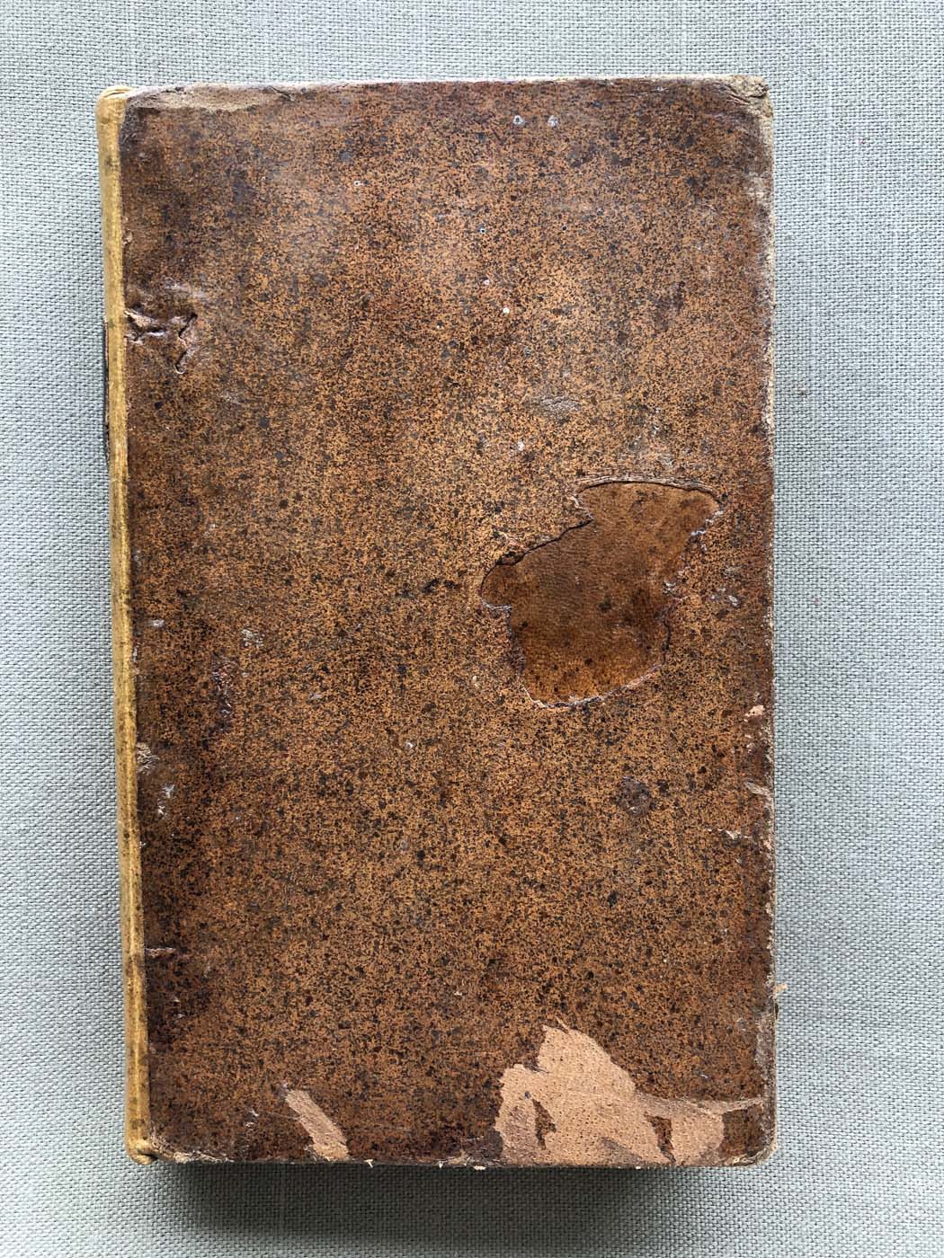
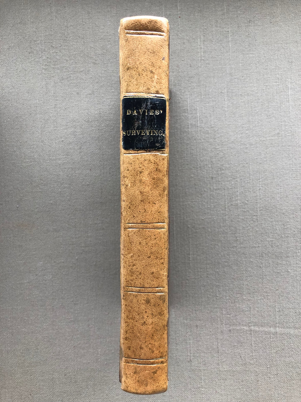
1830 Davies Surveying

CHARLES DAVIES, Elements of Surveying, (New York, 1830), Printed and Published by J. & J. Harper. FIRST EDITION.
Davies' Surveying was first published in 1830. This is a very nice copy of that rarely seen original edition. The text was first written as a series of lecture notes for use by the Cadets at West Point. The Military Academy was one of the foremost schools for mathematics in the country, and the book was directed towards more highly educated readers than were other works of the period.
The book's two introductory chapters on mathematics offer instruction in logarithms and plane trigonometry, but not geometry. The continuing chapters provide details about the principal surveying instruments then in use. These were the telescopic theodolite, compass, level, plain table, cross, and a number of computing and drafting scales. Practical instruction is also given in determining area, general surveying, topography and harbor surveying. Numerous working examples are included, with corresponding illustrations appearing in the rear on nine folded plates. The plates also have detailed engravings of the various instruments.
One of the examples in the 1830 text involves surveying a large tract of land using four different instruments. The theodolite is utilized for overall horizontal control, the compass and cross for fill-in work, and the plane table for adding topographic features. The book was so well received at the Academy that Davies rewrote the entire text to make it suitable for general distribution.
Davies Surveying soon became the most popular American surveying book of the mid-19th century. Over the years there were a total of six different versions of the book with varying titles.
The First Edition offered here is 5.5" x 8.7" with 147 pages of text plus 153 pages of mathematical tables. Inside the rear cover are located 9 folding plates
This is a VERY nice copy (noting the scuffing to the bottom of the front cover and imperfectly folded plates - see pics). Expertly repaired and repacked binding, so the book is very tight.
I sold a few Davies First Editions back in the day for $150 to $165. I think this is the nicest one I've had.
Price SOLD
© 2020 Russ Uzes/Contact Me