From Leybourn's The Compleat Surveyor in 1722
1700 Wing's The Art of Surveying
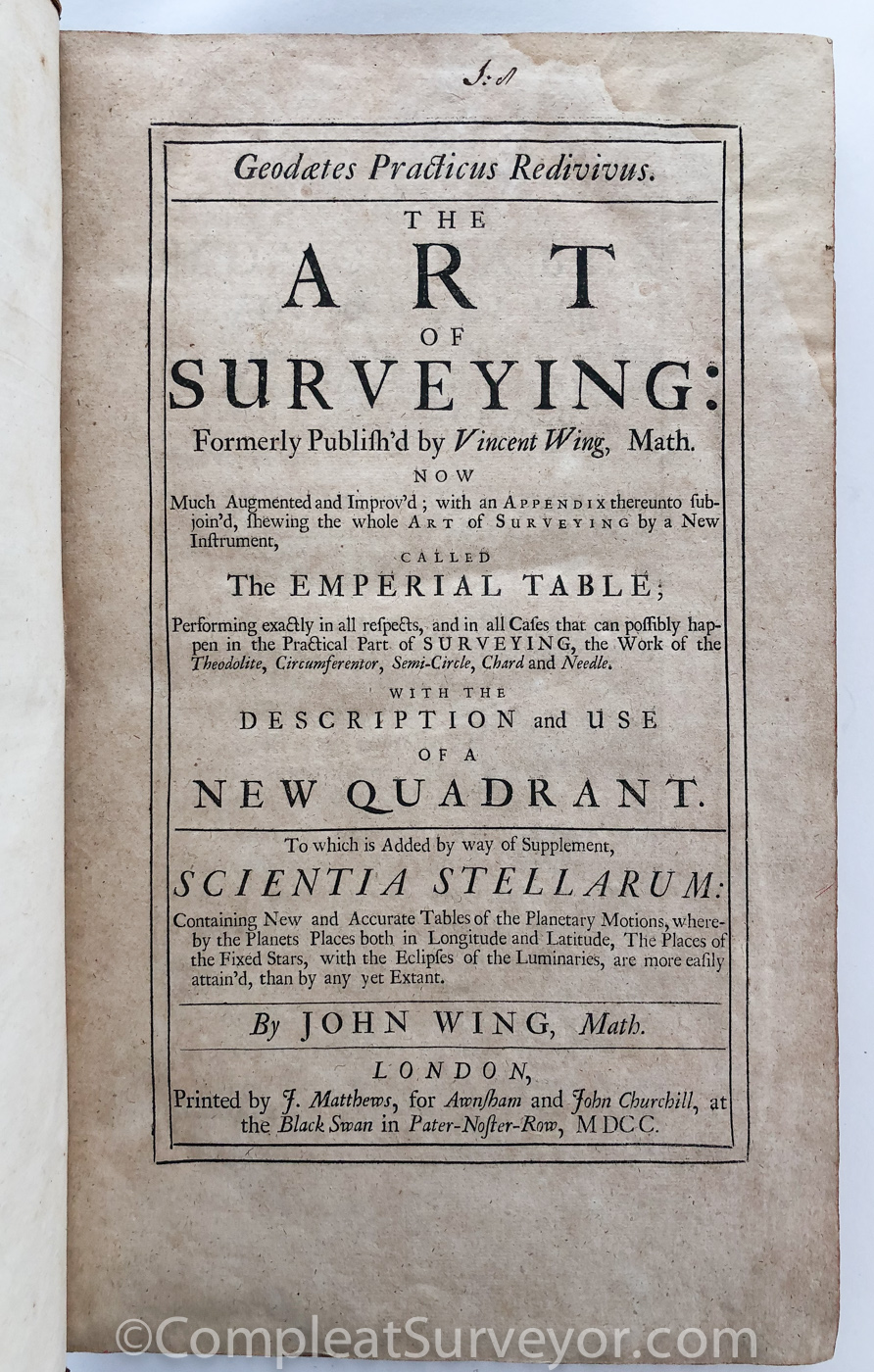
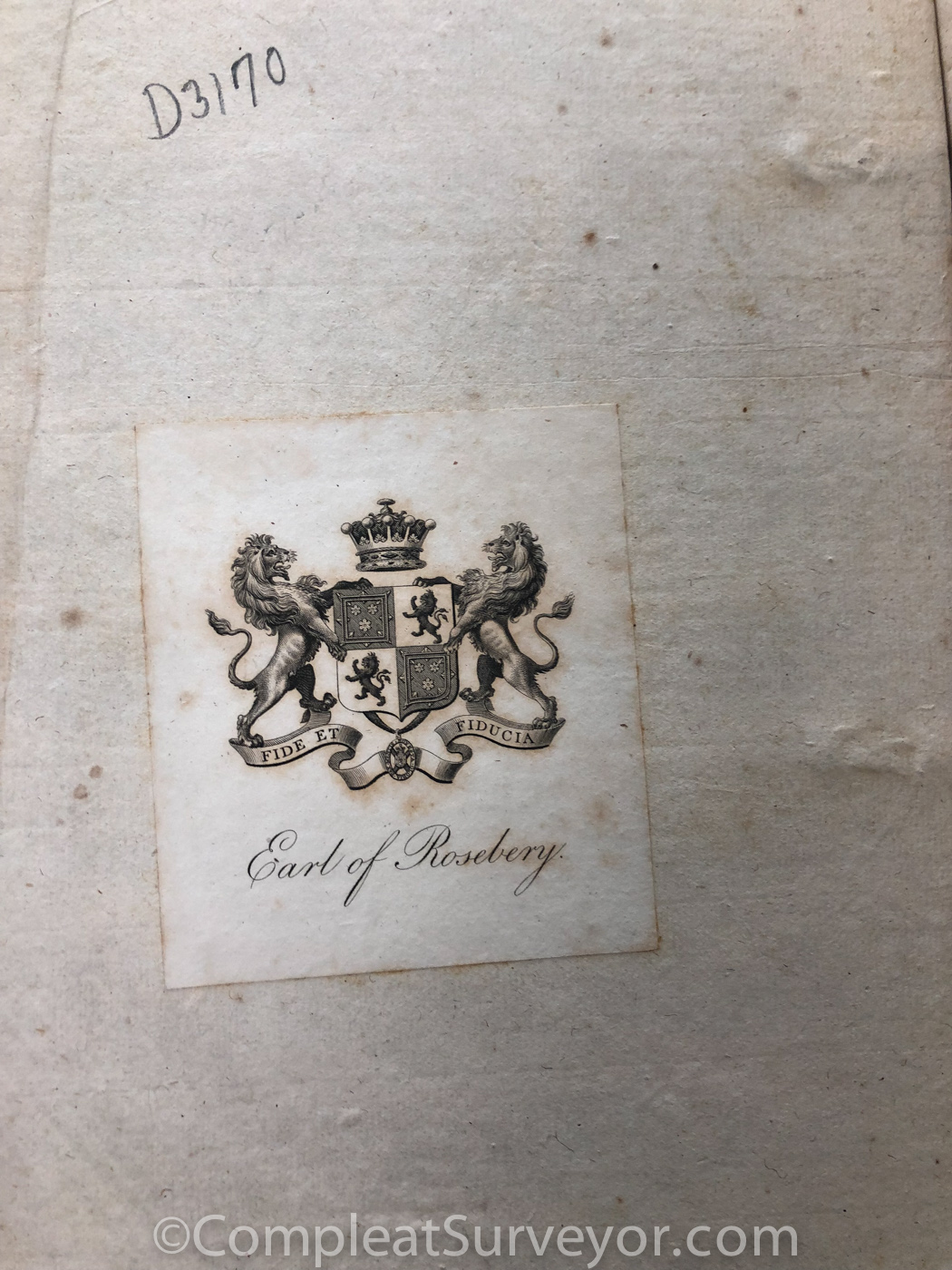
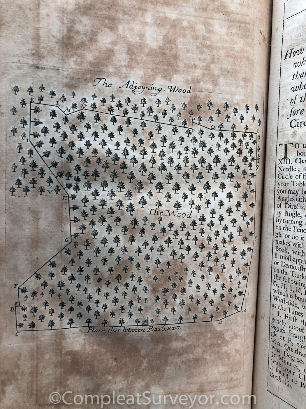
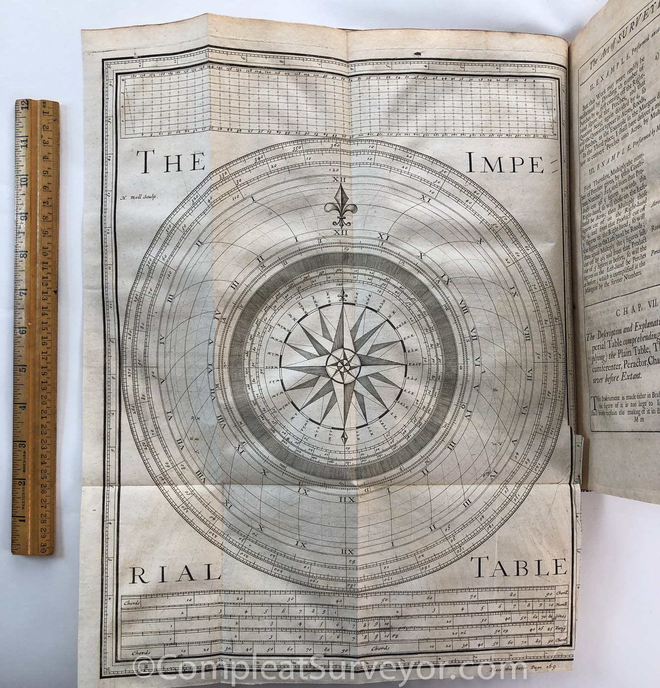
WING, John, Geodaetes Practicus Redivivus, The Art of Surveying: Formerly Publish'd by Vincent Wing, Math., (London, 1700), 384 pages., 8.0" x 12.8"; comprising 7 books covering the various elements of surveying including arithmetic, geometry, trigonometry, plain table, area determinations, buildings, use of the quadrant, geography, spherical trigonometry and mapping, all illustrated with dozens of diagrams and illustrations, together with a 134 page supplement Scientia Stellarum: or, The Starry Science Exposed in the Calculation of the Planets Places, both in Longitude and Latitude, 1699 .
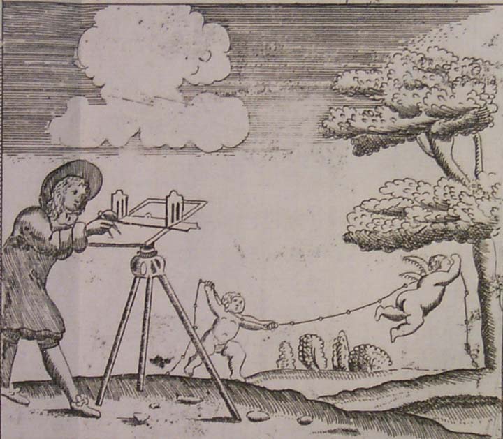
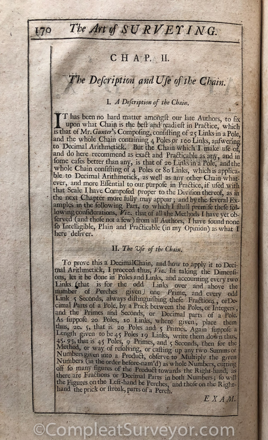
Vincent Wing (1619-1668) published the original edition of the surveying work in 1664. He was a prominent and highly respected mathematician, surveyor, and astronomer. His nephew, John Wing, carried on his surveying work for nearly three decades, and republished the original book with several additions. Chapter two of Wing's book describes the invention of a special link chain for measuring land and affording ease in calculating area.
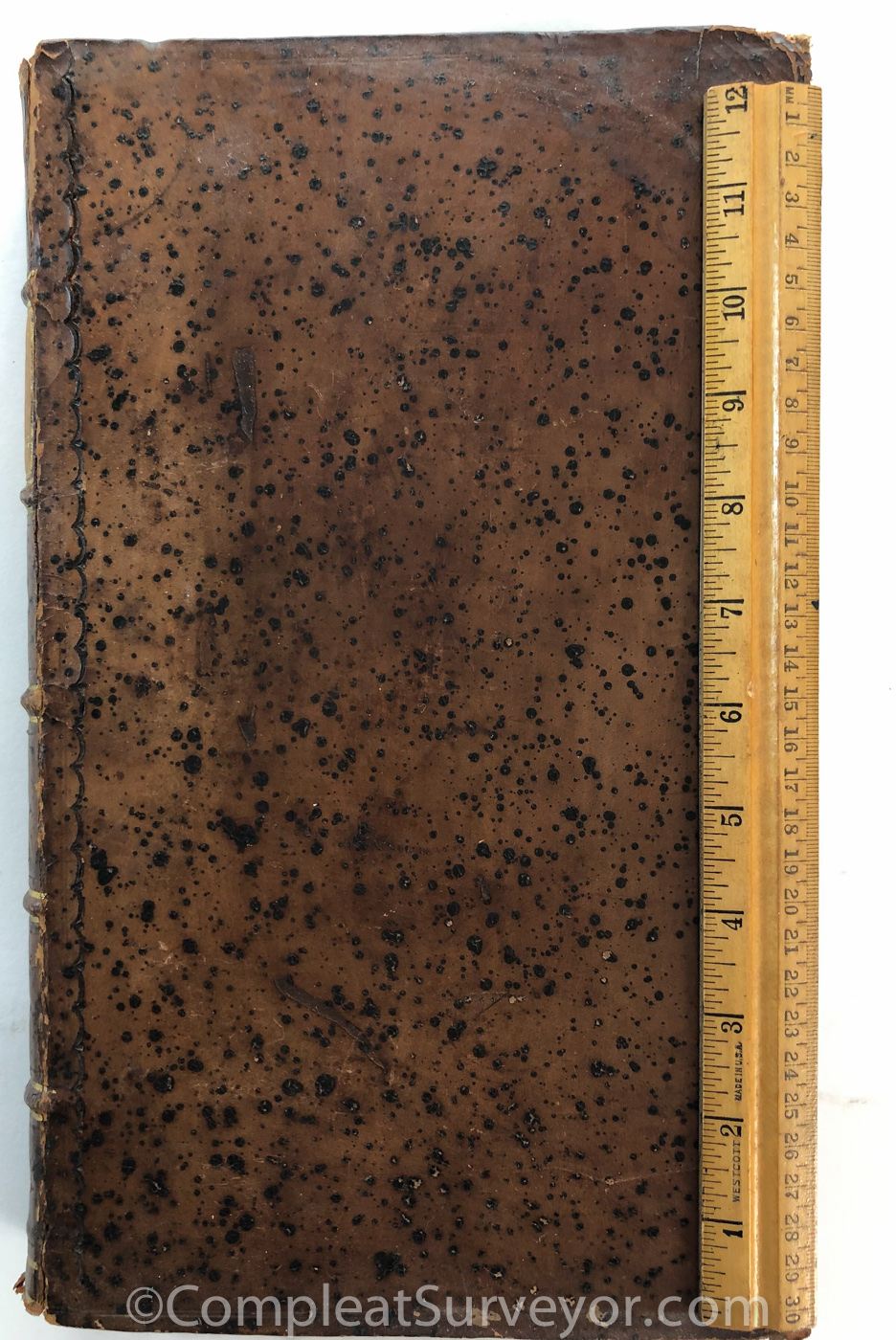
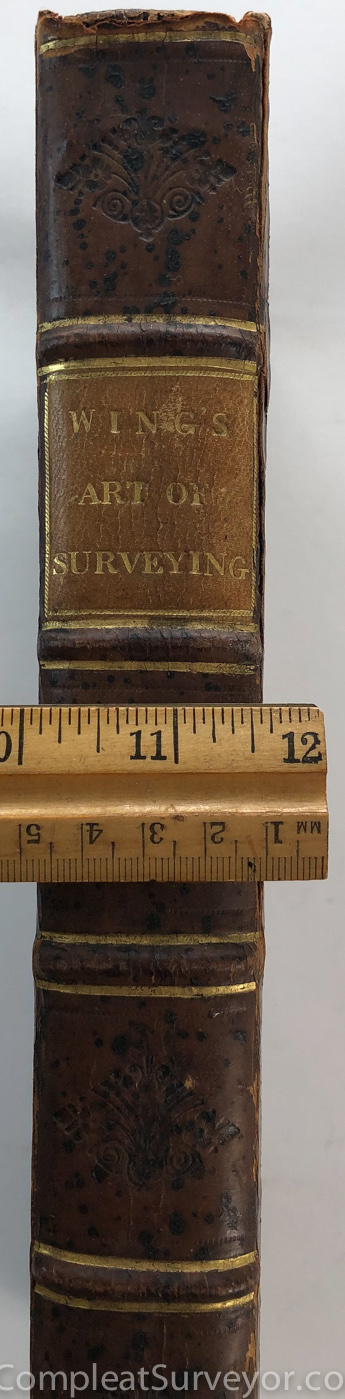
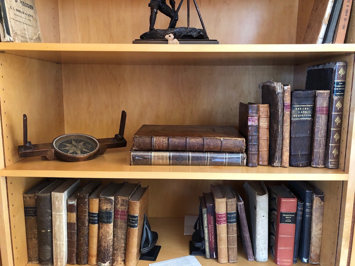
The original Wing surveying books (1664 and 1666) were relatively small books. The 1700 Wing is impressive however - a massive book that dwarfs almost all other surveying textbooks. I took a pic of my bookshelf to put the 1700 Wing book in perspective. The 1700 Wing is on the bottom, with a 1722 Leybourn on top of it. If you collect surveying books, a 1700 Wing Art of Surveying is a Must-Have book.
SOLD
Email Russ
© 2020 Russ Uzes/Contact Me